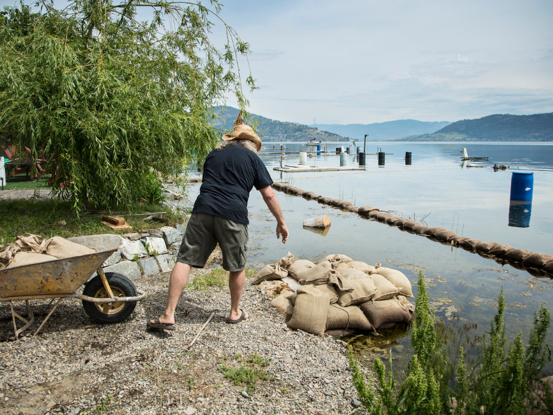
Waters recede in parts of flood-ravaged B.C. as half of province remains under threat

CACHE CREEK, B.C. – Much of British Columbia’s Interior continued to be under the threat of flooding triggered by rain and warm weather Sunday, but water levels appeared to be receding at one of the hardest hit communities.
Even so, Cache Creek, a village about 350 kilometres northeast of Vancouver, remained under a state of local emergency, which was expanded to May 13 at midnight.
Village officials said 21 properties remained on evacuation order, while 12 others were still on alert. Crews brought in sandbags, cleared asphalt and put in a berm in a key location along the creek near Quartz Road to prevent further flooding.
Rising creek waters earlier in the week inundated parts of the village, flowing through its firehall, flooding several businesses and temporarily closing both Highway 1 and Highway 97.
“The water is staying in the channel now,” said Cache Creek Mayor John Ranta. “And it doesn’t seem to be flowing around or through the firehall the way it was the last few days.”
MLA Jackie Tegart, whose Fraser-Nicola constituency includes Cache Creek, met with town residents Saturday.
She said people are hopeful the worst of the flood threat is over.
“People are tired,” said Tegart. “Holy cow, are they tired.”
In the meantime, about half of B.C. remained under flood watch, warning or advisory on Sunday.
The Regional District of Kootenay Boundary, 530 kilometres east of Vancouver, became the most active flood zone in the province on Saturday, with officials ordering the evacuation of 40 properties in and around Grand Forks.
On Sunday, the district rescinded the evacuation orders for 34 of those properties within Grand Forks city limits, but also added one more rural property near the city to the evacuation orders list.
“Weather conditions locally and in the snowpack areas could cause these forecasts to vary through the rest of the weekend,” the City of Grand Forks’ Facebook page update said. “Residents are reminded to stay away from areas under evacuation orders and alerts and to remain well clear of fast-moving water.”
A flood warning also continued to be in place for Whiteman Creek in the Okanagans, where the Okanagan Indian Band said it will continue to monitor the situation while removing silt and debris to minimize the damage from rising water.
In Cache Creek, Ranta said while the village is still in the response phase of the emergency, there will also be a long cleanup process due to the flooding this past week.
“There’s, you know, six or eight inches of silt and rocks and gravel and whatnot around the firehall,” Ranta said. “And other businesses have work to do. They’ve got a fair bit of damage as a result of the flooding, and I think we’ll be months in the recovery phase.”
Cache Creek is also remaining vigilant to new flooding that may arise, Ranta said.
Tegart said people in the area have told her they want the provincial government to engage in “big picture planning” to try to limit the annual flood threat.
“Every year, people watch with trepidation as the freshet starts,” Tegart said. “We know where the water comes up. Why aren’t we doing the work before it happens?”
– By Chuck Chiang in Vancouver, with files from Dirk Meissner in Victoria
Feature image by iStock.com/Lightguard


