Satellites or sensors? What’s best for parametric flood cover?

During his presentation, Lacovara said stream gauges are also often used because they can be very good at providing accurate, local information. However, he said, one advantage of using satellites to construct a parametric program, rather than stream gauges, is that gauges tend to fail “as do many other ground-based sensors.”
The sensor side of the story
Following the publication of the article, another firm in the flood business reached out to IB. FloodFlash describes itself as an insurance technology company and offers parametric flood cover calculated using data from sensors. The company offers its flood coverage in the US and the UK and currently has eyes on Australia.
A representative from the firm offered “the other side of the story.”
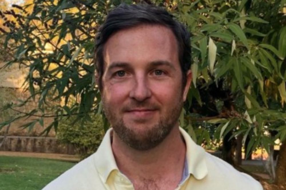
UK-based Richard Coyle (pictured above), is head of major accounts and capacity management for FloodFlash. His firm’s parametric offering, he said, is not sector-specific and was designed to help any business at risk of flooding, ranging from utility and energy companies to real estate, manufacturing and public entities.
“Our IoT sensors can be deployed at the client’s site, ensuring that the parametric triggers correlate with the risk much closer than with other parametric offerings,” Coyle said.
Flood depth: The critical measurement?
He said that one advantage of his firm’s sensors over satellites is that they are custom-built for parametric flood insurance and can accurately measure the depth of flooding.
“Whilst many factors contribute to flood damage including water velocity, duration and source, extensive research shows that flood depth is the often the most reliable predictor of property level loss,” said Coyle. “It makes sense to design parametric triggers around depth of flooding.”
He said FloodFlash sensors are designed to capture high-resolution depth measurements at “a very high frequency” during a flood.
“Satellites and river or tidal gauges can be useful in setting parametric triggers, although that’s not what they were designed for,” Coyle said.
He said the snapshot that satellites provide over a wide area suit them to “area-based parametric insurance” for flooded farmland.
“The flip side is that satellites sacrifice on detail and accuracy,” Coyle said.
IB asked Coyle if using both sensors and satellites together could be the best option for insurers and their clients.
“To get flood depth readings at a given site, satellites don’t add anything to the picture,” Coyle said. “Sensors are the most accurate, reliable and cost-effective means of supporting a parametric policy.”
He said while his firm does use satellites to validate the source of flooding, the satellite data that would be used for a parametric offering typically needs “ground truthing” for verification and to increase accuracy. This process of measuring a flood and calibrating satellite images actually often relies on ground-level sensors, he said.
“When it comes to measuring flood depth, using satellite data is like using a sledgehammer to crack a nut – and you still need to use a nutcracker afterwards,” said Coyle.
He also said the performance of a satellite is heavily dependent on the weather.
“The frequency of measurement is dictated by orbit, or the number of satellites available and the data provided requires a lot of post-processing to produce depth measurements, introducing more uncertainty,” Coyle said.
Sensors that haven’t failed
In contrast, he said, his firm’s sensors are “yet to fail” during a claims event and provide measurements accurate to 5 mm every five minutes.
Coyle also described the affordability of FloodFlash sensors as a “breakthrough.”
“It is a great option for smaller businesses and landlords, absolutely,” he said. “When it comes to larger clients and governments, that affordability means that we can consult with a client and use multiple sensors to create a high-resolution network across their site or municipality.”
He said this amounts to the “wide view” offered by satellites with “the accuracy of sensor-based measurement.”
What’s your view on parametric flood insurance? Sensors or satellites? Tell us what you think below.


