Reflecting on the Approach of Hurricane Idalia

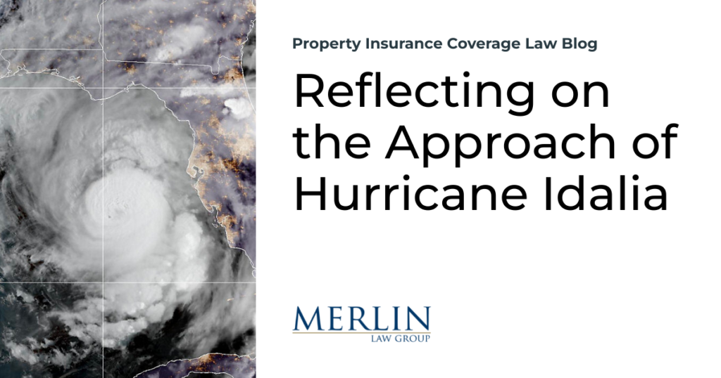
I find myself deeply touched by the outpouring of concern I’ve received through calls, emails, and texts. Even from unexpected sources like Steve Badger, there’s been an overwhelming wish for my safety in the face of Hurricane Idalia. This gratitude, however, is tinged with a strange irony. While my home and community might be spared, someone else will bear the brunt of this storm. I can’t help but think of the cherished bay scallop hunting areas, stretching from Steinhatchee to Homosassa Springs, that hold so many fond memories for me. They stand the risk of being decimated by the fierce winds and the impending storm surge.
Predicting the exact landfall of a hurricane is always a game of chance. A mere five to ten-mile shift can spell the difference between total devastation and manageable damage for the next fifty miles, especially when the hurricane’s trajectory runs parallel to the coast. Currently, the forecast suggests that Tampa Bay, along with my boats – Chip’s Ahoy! and Chip’s All In! – will be spared the worst of the storm. Yet, my thoughts keep drifting to the residents of Yankeetown and other quaint towns nestled in the Big Bend area of Florida.
Wikipedia paints a vivid picture of this region:
The Big Bend of Florida, United States, is an informally-named geographic region of North Florida where the Florida Panhandle transitions to the Florida Peninsula south and east of Tallahassee (the area’s principal city). The region is known for its vast woodlands and marshlands and its low population density relative to much of the state. The area is home to the largest single spring in the United States, the Alapaha Rise, and the longest surveyed underwater cave in the United States, the 32-mile (51 km) Wakulla-Leon Sinks cave system.
The related Big Bend Coast region includes the marshy coast without barrier islands that extends along the Gulf of Mexico from the Ocklockonee River to Anclote Key. Florida’s Nature Coast region is included in the Big Bend Coast.
The Big Bend region is located at the northern end of Apalachee Bay along the broad arc of land where the predominantly east-west coastline of the Florida Panhandle connects to the predominantly north-south geography of the Florida Peninsula. It stretches eastward from the Forgotten Coast past the delta of the Suwannee River, with some definitions extending the southwestern end as far as the edge of the Tampa Bay area. Inland areas are often covered with woodlands and marshes around the southward- and southwestward-trending rivers draining towards the Gulf of Mexico. The Big Bend region includes the area between the Apalachicola and Suwannee Rivers historically called Middle Florida. North Florida’s portion of the Red Hills Region is located within the Big Bend region. The Big Bend Coast either contains or is coterminous with the Nature Coast.
Such towns, often overlooked, are the true gems of America. As we hope for the best, let’s also commit to cherishing these places. Let’s send a prayer, hold a positive thought, and make a promise: Whenever we travel, we’ll take a moment to truly appreciate the beauty of these hidden treasures.
Thought For This Evening
For any American who had the great and priceless privilege of being raised in a small town there always remains with him nostalgic memories.
—Dwight D. Eisenhower


