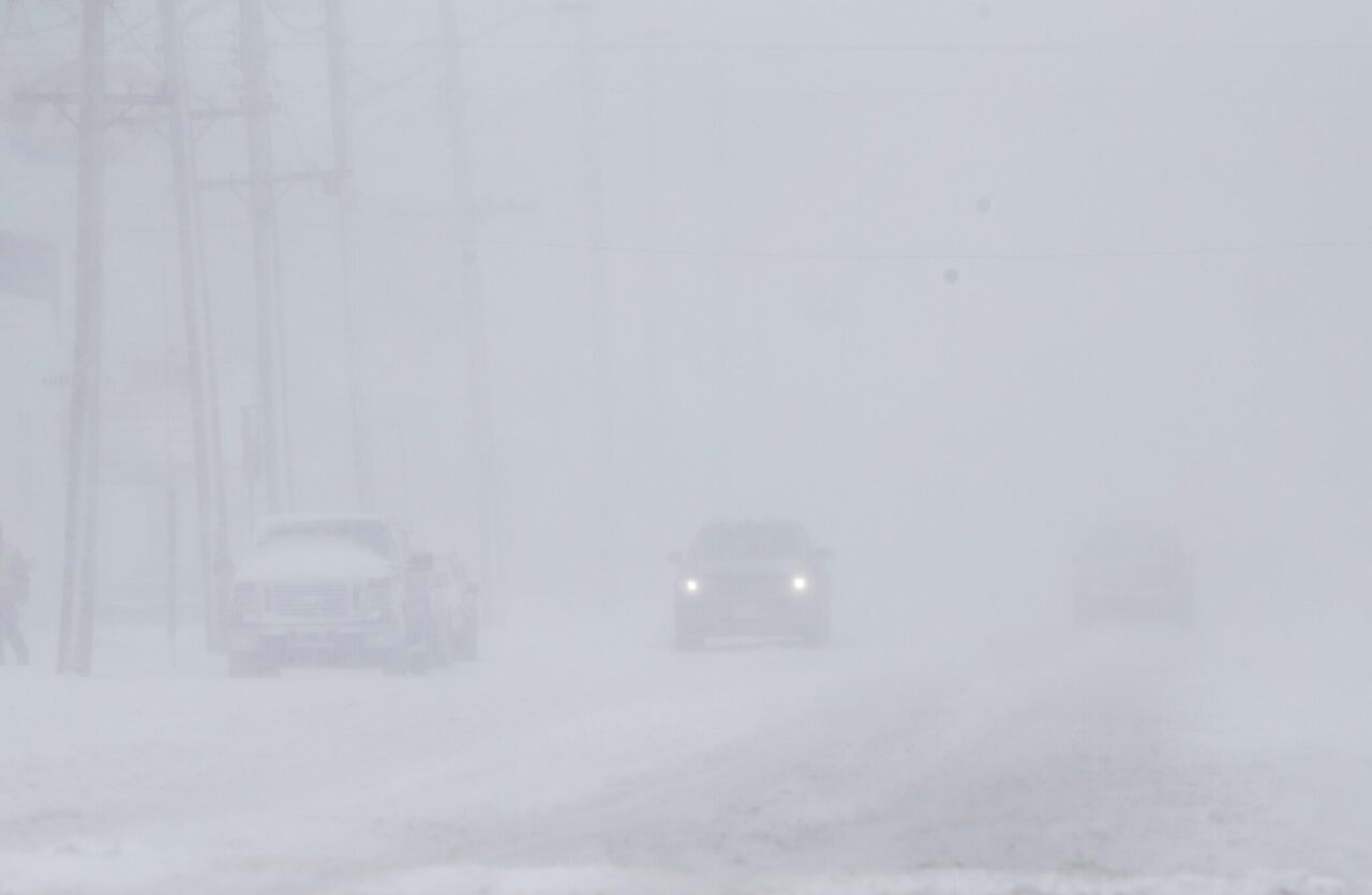
Blizzard closes schools, shuts roads in parts of Manitoba and Saskatchewan

WINNIPEG – Heavy snow and strong winds were combining in a spring blizzard expected to last three days across southern Manitoba and a section of southeastern Saskatchewan.
Schools were closed in many areas, roads were shut down and most flights at Winnipeg’s international airport were cancelled Wednesday. The National Hockey League also postponed a scheduled game between the Winnipeg Jets and the visiting Seattle Kraken.
Politicians at the Manitoba legislature left early Wednesday and cancelled Thursday’s scheduled sitting so that staff and other workers in the building could remain safe at home.
“This is the third-most snowfall winter that we (have) on record,” Transportation and Infrastructure Minister Doyle Piwniuk said.
“It’s not just that we had snow. We’ve had the winds, and I’ve never seen winds like this in a number of years.”
Environment Canada and other government agencies warned people to avoid driving.
“We have winds gusting to 62 km/h … and could see gusts of 70 km/h … (so) visibility is being reduced to 400 metres and could be reduced quite a bit less still,” Natalie Hasell, a warning preparedness meteorologist with Environment Canada, said Wednesday morning.
Forecasters initially expected up to 80 centimetres of snow in the hills of western Manitoba and 60 centimetres in Winnipeg before the storm’s expected end on Friday. Hasell said that was still a possibility, but the more-likely scenario would see about 20 centimetres less in each area.
Lesser amounts, closer to 25 centimetres, were forecast for communities, including Carlyle, in southeastern Saskatchewan. The regional school division posted on its website that classes were cancelled Wednesday and Thursday.
Highway closures included much of the Trans-Canada Highway through Manitoba and the Perimeter Highway surrounding Winnipeg.
Temperatures were expected to stay below freezing for the next few days, so the post-storm cleanup could take a while.
Those below-normal temperatures bring an upside, however. They are expected to reduce the threat of major flooding posed by all the new snow.
“It’s not supposed to melt until possibly Tuesday, when we actually get positive temperatures,” Piwniuk said.
“And it’s going to be a slow melt. That’s the best conditions we could hope for.”
The Red River, which runs through Winnipeg, had already begun to recede from a crest earlier in the week.
Feature image: People woke up to a snowstorm in Winnipeg, Wednesday, April 13, 2022. Meteorologists forecast that the late season Colorado Low would drop 40-60 cm of snow on the area. THE CANADIAN PRESS/John Woods


